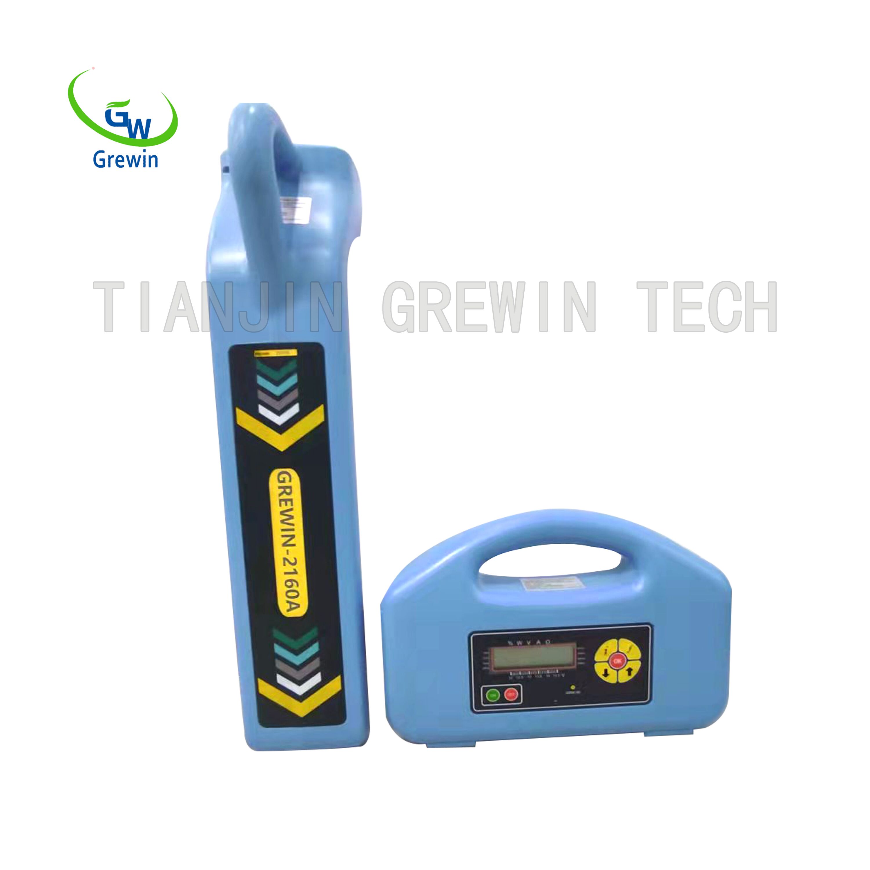
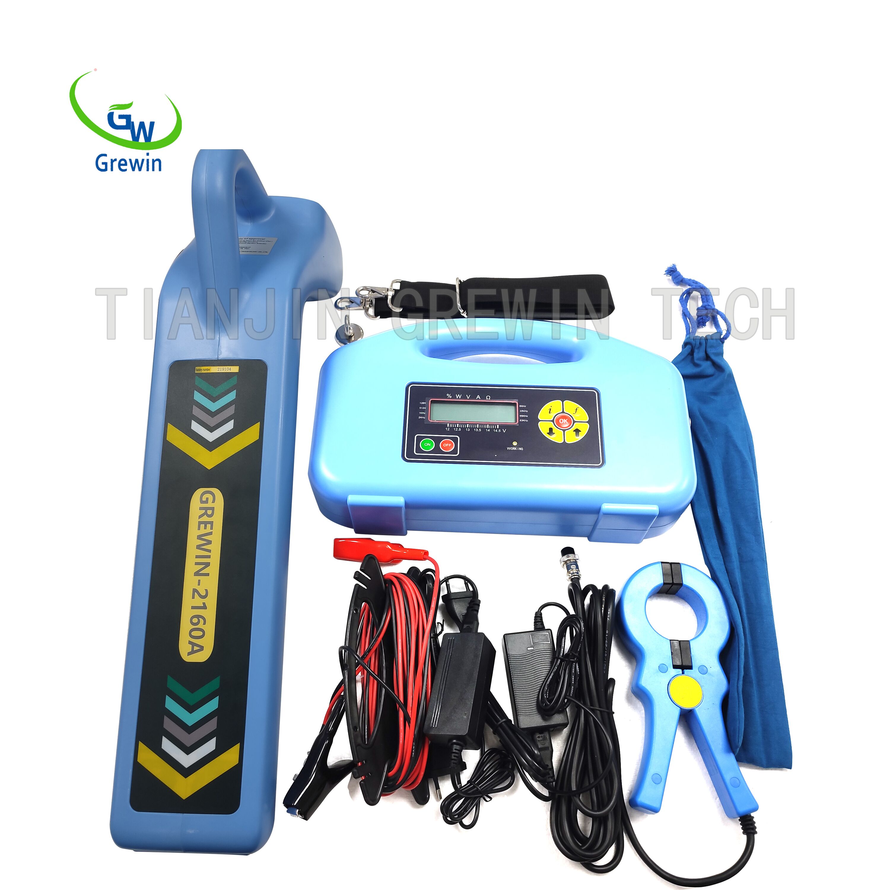
GW-2160A Multi Frequency Underground Pipe Locator
1. Multiple Functions
1) Transmitter: three connection modes: inductive connection, direct connection and clamp connection;
suitable for different occasions.
2) The receiver functions: detecting the position, path, depth and tube current of underground pipes and
cables.
3) Left and right positioning arrows indicate the target pipeline position fast and accurately; front and rear
arrows and dB value indicates the point and size of the coating damage.
4) Backlight suitable for urgent use in the nighttime.
5) Optional GPS geolocation with the automatic mapping of the pipelines.
6) Optional professional data analysis software with the automatic detection report.
7) Unique feature of GW-2160E: locating the breakdown points (pipeline breakdowns refer to the coating
damaged points while electric cable breakdowns refer to the outer layer damages.); detecting the insulation
damages of underground pipeline and cable.
8) Measuring the current of the pipeline and cable applied by the transmitter.
9) Multimeter function: measure the output voltage, line voltage, line current, impedance and power; Test
the cable continuity and insulation quality before and after cable fault finding.
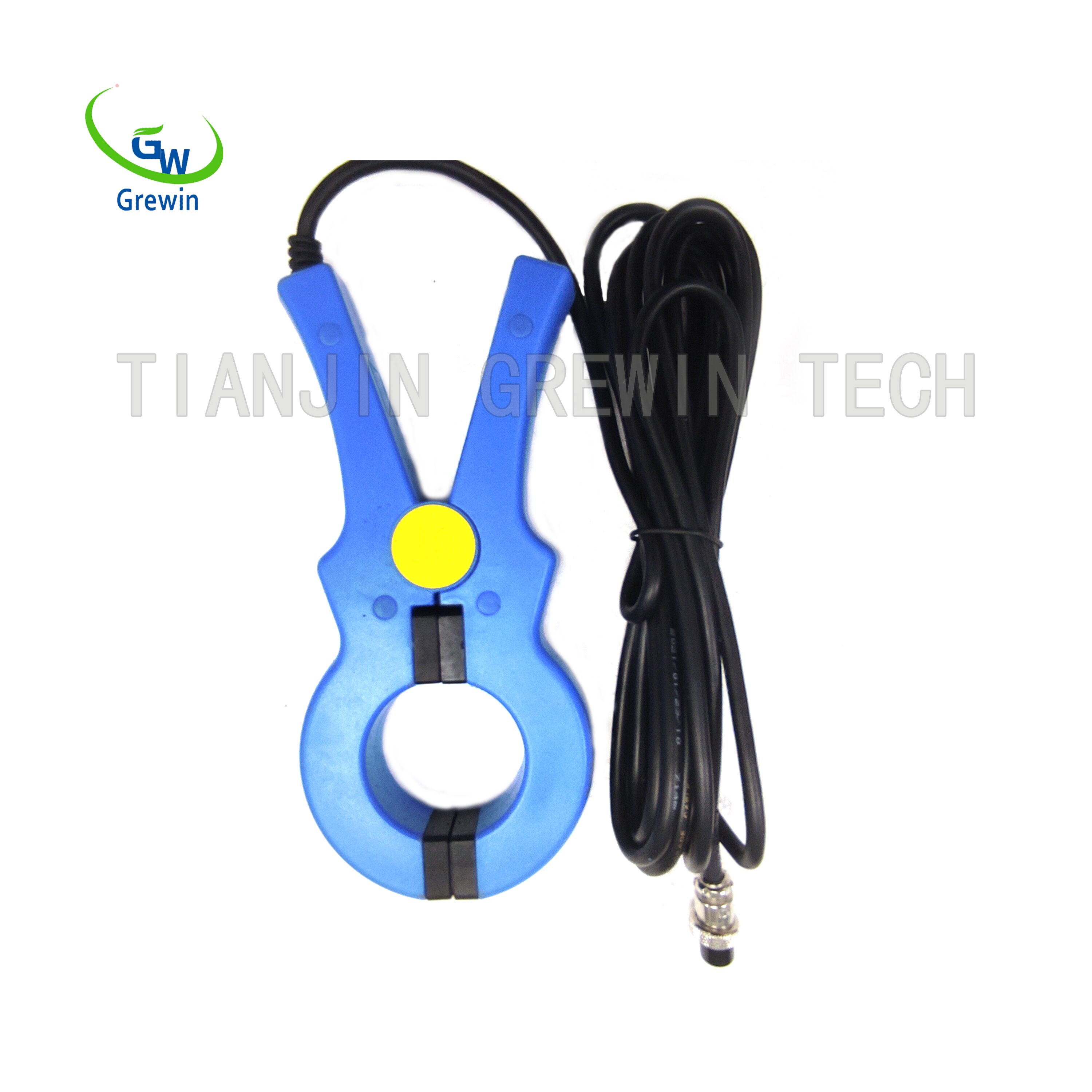
10) External induction clamp: suitable for testing the cable when they cannot be directly applied to the
signal of the place.
2. High Location Accuracy
A variety of measurement modes for pipeline positioning (valley mode, peak mode, broad peak mode, peak
arrow mode), can verify each other to ensure the accuracy of pipeline positioning.
1)
Maximum value method: peak mode,
broad peak mode and peak
arrow mode are available to
determine the horizontal component (
) or horizontal gradient (
) changes, according to its
maximum position to locate;
2)
Minimum value method: use the valley
mode by measuring the vertical
component (
) changes
according to its minimum position to locate.
3. Measuring the depth
A variety of methods can be used to verify each other.
1)
double-level coil direct reading method;
2)
single-level coil 80% method, 50% method;
3)
45 degrees method


